GPR (Ground Penetrating Radar)
- May 24, 2017
- admin
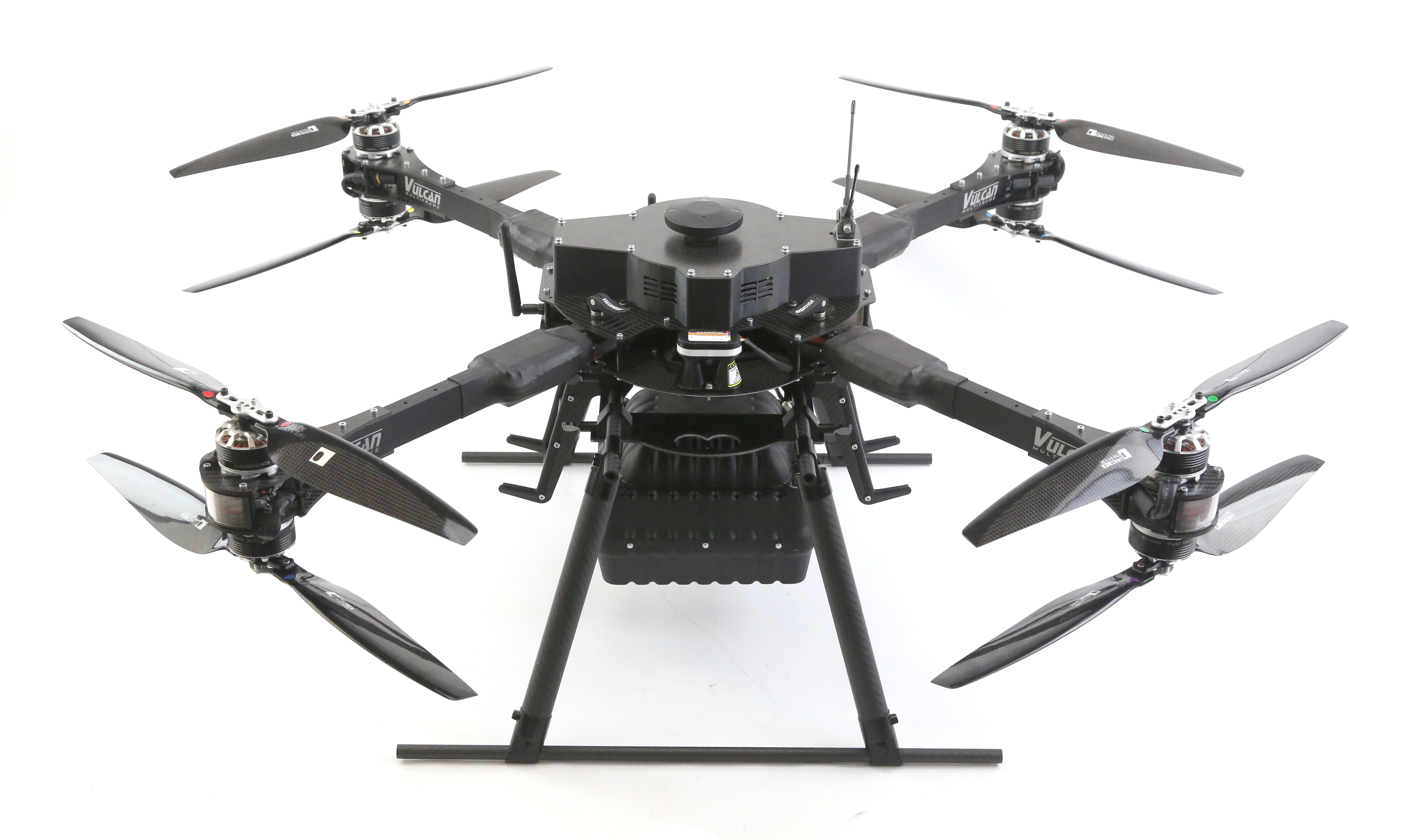
As the name implies GPR is used to look for information about what is beneath the ground with applications ranging from archeology to mine detection. Normally GPR would be fitted to a small ground vehicle or even dragged across the ground by a human operator, however this approach is not always practical or in some cases even possible. GPR sensors rely on close proximity to the ground, so to undertake this from a UAV requires operation at very low level and at a very consistent altitude. This is clearly beyond the ability of most pilots and so must be achieved autonomously. A grid pattern using waypoints is generated and altitude is maintained using a very accurate laser altimeter and some clever terrain following algorithms, with information from the GPR being sent back in real time over a radio link.
Flying at this level means the aircraft must have very accurate control and also be highly resilient to wind as any deviation could easily result in a crash. This particular aircraft is extremely stable, produces minimal vibration, and can manage around a 30 minute flight with the GPR allowing for good coverage between battery changes. Altitude control is accurate to around 1 cm.